By Peter Borrows
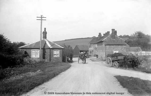
The article about the Gout Road (the turnpike from Hatfield to Reading) did not really do justice to the history of this ancient route. In effect, what the Marquis of Salisbury and his friends were trying to do was to improve an existing route. By making it a toll road there would be money to have the surface improved or perhaps sometimes to have the road slightly diverted. However, it is substantially the same as the Bishop’s Road, used by the Bishop of Lincoln in medieval times, who would travel south on the Great North Road from his cathedral in Lincoln, turn west at Hatfield en route to his summer palace at Wooburn, near High Wycombe. Conveniently, he could stop the night, and wine and dine, at the Abbey at St Albans, before travelling on to Amersham, perhaps to preach a vehement sermon on the dangers of reading the Bible in English at a Lollard burning in 1521. The route went straight across Ruckles Field, only a few metres from where the Amersham Martyrs were probably burned.
It also followed the line of a Roman road, through St Albans (then Verulamium), passing close to the villa at Chenies. In Amersham it came diagonally down the hill behind Tesco’s (Ruckles Field, as the present footpath does) and probably fording the river where the Old Town Car Park is, then heading south through what is now the archway of the Griffin Inn, before joining Whielden Street near its junction with Whielden Green. Roman coins have been found just off Whielden Street. The Roman road, in turn, probably followed the line of a prehistoric trackway. The route of such tracks was often marked with boulders or sarsens, and a few such can be found roughly in the right place in Amersham, for example two set in the pavement at the entrance to St Mary’s Court on the Broadway (next to the Old Town Car Park) and another set into the western wall of the courtyard of the Griffin Inn, opposite the end of the Barn.
Of course, occasionally, the exact route has been slightly altered over the years. The current route to High Wycombe from Amersham would not take you through Penn, as the Bishop’s Road did. Probably, the Gout Road used Stanley Hill, rather than the track behind Tesco’s. In Roman times, a bridge seems to have been built across the Misbourne slightly to the west of the ford – a bridge is still there. But this ancient route is still a good way of avoiding London if you are heading south and want to go west.

